Ships could serve as early warning for tsunamis
Marie Donlon | December 11, 2020A team of researchers from the Cooperative Institute for Research in Environmental Sciences (CIRES) at the University of Colorado Boulder believes that outfitting a fleet of commercial shipping vessels with GPS sensors could expedite tsunami warnings for coastal communities.
To make this determination, the team developed a computer simulation wherein the location of ships in the Cascadia Subduction Zone — a 600 mile fault that runs from northern California to British Columbia, roughly 70 to 100 miles off the Pacific coast — was noted.
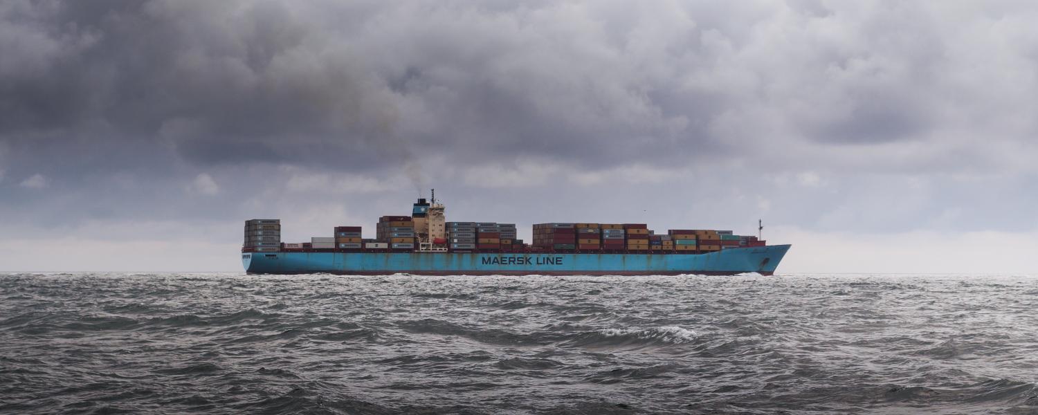 Source: University of Colorado Boulder
Envisioning that each ship in the fleet carried a GPS sensor, the researchers determined that the sensor network could potentially communicate data about ship elevation and wave bobbing activity — as a measure of potential tsunami activity — serving as an early warning of tsunami activity for those along the coastline.
The researchers theorized that just a handful of ships would not work and for such an early warning system to be successful, several ships would need to be connected. Reasoning that the ship activity is already in high-risk regions like the Cascadia Subduction Zone, the team believes that their theoretical system is less expensive than the maintenance and installation costs associated with current tsunami warning systems wherein sea floor sensors detect a tsunami passing overhead.
Published in the journal, Earth and Space Science, the research will also be virtually presented at an upcoming meeting of the American Geophysical Union.