Watch the launch of Earth-mapping satellites
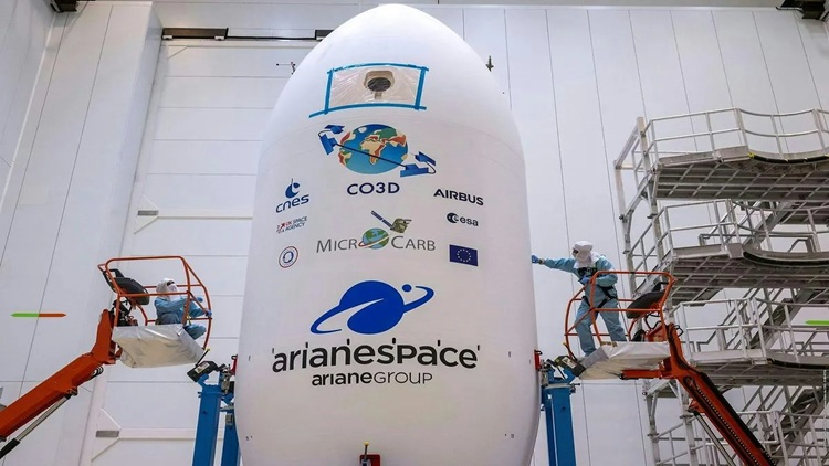
S. Himmelstein | August 05, 2025Four Airbus-built Constellation Optique 3D (CO3D) satellites developed in partnership with the French Space Agency (CNES) were successfully launched from the European Spaceport on July 26 in Kourou, French Guiana.
Now in a Sun-synchronous orbit at an altitude of 502 km, the four 285 kg satellites and will deliver a global high-resolution digital surface model, providing 50 cm stereo imagery to CNES and 2D imagery to government and commercial users. During the 18-month Earth mapping mission, the data generated will feed a cloud-based ground segment operated by Airbus to produce the final 3D map, supporting military and civil applications ranging from geology and hydrology to urban planning and civil security.
The CO3D satellites include a new observation mode called Step and Stare. Each craft uses its matrix detector to shoot images (Stare) and pave the area of interest with images of about 7 km x 5 km. They can also quickly reposition between successive pictures (Step), allowing each spacecraft to provide the user with 7 km, 14 km, 21 km or 28 km swath images.
 Source: Airbus
The satellites have been designed to enable users to upload and execute an application onboard. This can include artificial intelligence and deep learning applications for the direct detection and extraction of specific items such as vessels or planes.
The launch also saw the lift-off of the MicroCarb satellite, a joint mission between CNES and the U.K. Space Agency, dedicated to the mapping of atmospheric carbon content for analysis by climate scientists.