EPA Mapping Tool Aims to Help Protect Drinking Water Sources
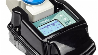
By Engineering360 News Desk | March 11, 2016The U.S. Environmental Protection Agency (EPA) has released an online mapping tool to provide water system operators, state and federal agencies and the public with information essential to helping them safeguard America's drinking water sources.
The Drinking Water Mapping Application to Protect Source Waters (DWMAPS) allows users to learn about their watershed and understand more about their water supplier. While the mapping system does not display the locations of public water system facility intakes, it lets users see if sources of their drinking water are polluted and guides users to how they can become involved in protecting drinking water sources in their community.
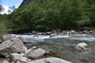 The mapping tool allows users to learn about their watershed and water supplier. Image credit: Pixabay. EPA says that utilities and state drinking water program managers can also use DWMAPS in combination with their own state and local data. Specifically, it allows them to find potential sources of contamination in their localities and find data to support source water assessments. The managers will also be able to identify plans to manage potential sources of contamination, and evaluate accidental spills and releases by identifying where emergency response resources for accidental releases must be readily available.
The agency developed DWMAPS—which integrates drinking water protection activities with other environmental programs at the federal, state and local levels—in consultation with EPA regional drinking water programs, state drinking water regulators and public water systems.