Stay afloat with expanded US water data hub
S. Himmelstein | May 07, 2024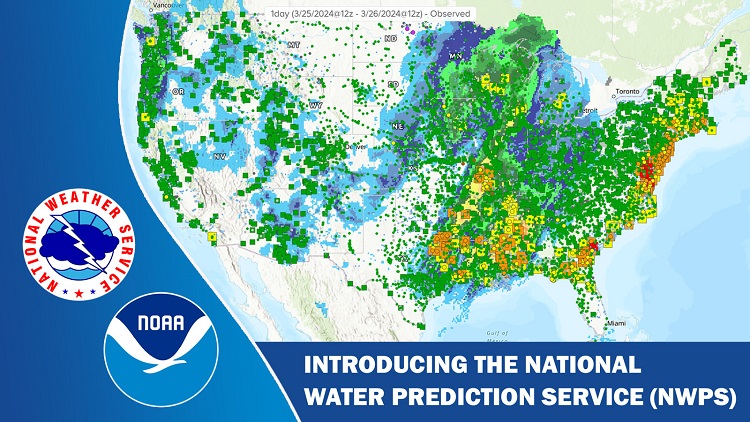 The NWPS is designed to transform how water resources information and services are delivered, and to improve user experience through enhanced displays. Source: NOAA
An expanded water data hub developed by the U.S. National Oceanic and Atmospheric Administration (NOAA) combines local and regional water resource forecasts with new national level capabilities, such as flood inundation maps and the National Water Model.
The National Water Prediction Service (NWPS) platform merges information from the Advanced Hydrologic Prediction Service (AHPS) and NOAA’s Office of Water Prediction. Its primary objective is to empower users, including stormwater professionals and engineers, in making informed decisions regarding water-related matters. New features represented in NWPS include real-time river observations and forecasts, present and future precipitation estimates, and geographical representations of areas experiencing flood warnings, watches and advisories.
Previous hydrographs provided by AHPS and the Office of Water Prediction detailed river-gauge and precipitation data only within the previous 72 hours. The new tool shows observations within the previous 30 days. It also offers river-stage predictions as much as 7 days in advance, improving on the capabilities of previous tools.
Additional features and capabilities include analysis of current snowpack contents, representing both snow depth and snow water equivalent, and an experimental flood-inundation map layer based on modeled river discharge. The National Water Model, which provides 24-hour coverage, seven days a week hydrologic forecast guidance along 3.4 million river miles across the U.S., is also integrated into the NWPS hub.
Access a user's guide to learn about these NWPS features.