Mapping tool targets flood risk worldwide
S. Himmelstein | December 26, 2021A new flood mapping tool generates instant, accurate street-level resolution maps of floods worldwide dating as far back as 1985. Developed by the UN University Institute for Water, Environment and Health (Canada) in a collaboration with Google (California), Mapbox (California) and McMaster University (Canada), the mapping system can provide up to 40 years of flooding data at a street-by-street resolution of just 30 m or 100 ft.
The World Flood Mapping Tool allows users to adjust variables to help locate gaps in flood defenses and responses, and to plan future development of all kinds — for example, where to build or upgrade infrastructure, or develop agriculture. The system uses the Google Earth Engine combined with Landsat data collected since 1985 to generate detailed maps of flood inundation in recent decades, with available overlays of population, buildings and land use, which can be used for community planning, building zoning, insurance assessments and more.
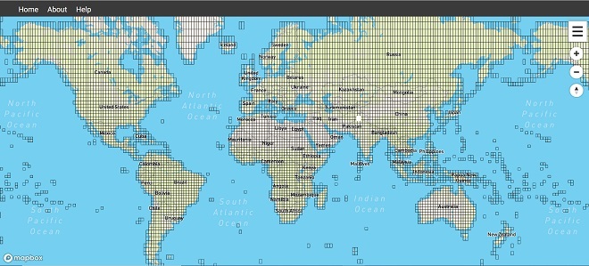 The World Flood Mapping Tool enables users to visualize almost 40 years of flooding data for nearly any point in the world. Source: UN University Institute for Water, Environment and Health
A more detailed version of the tool in development for commercial use will provide resolution at a building-by-building level and incorporate building occupancy data. A free flood risk prediction tool for release in 2022 will use artificial intelligence to generate current and future flood risk maps for three climate change scenarios at the city, district and river basin levels.