Mobile flood tool launched by USGS
S. Himmelstein | November 08, 2020Real-time information on water levels, weather and flood forecasts throughout the U.S. is now available with a mobile tool developed by the U.S. Geological Survey (USGS). The USGS National Water Dashboard provides critical data to decision-makers, emergency managers and the public during flood events, informing decisions that can help protect lives and property.
Information accessed from the National Water Dashboard on a computer, smartphone or other mobile device can be used by forecasters and local emergency managers as they issue flood and evacuation warnings, verify safe evacuation routes and coordinate emergency response efforts. The system can assist the U.S. Army Corps of Engineers in managing water supplies in river basins and operating flood control reservoirs. During a drought, the tool can help state resource managers identify areas where water supplies are at risk.
The National Water Dashboard presents real-time stream, lake and reservoir, precipitation and groundwater data from more than 13,500 USGS observation stations across the country. This information is shown along with U.S. National Oceanic and Atmospheric Administration weather data such as radar, watches and warnings, past precipitation totals, precipitation forecasts and drought conditions from other open water-data sources. The system also links to the USGS WaterAlert system, which sends out instant, customized updates about water conditions.
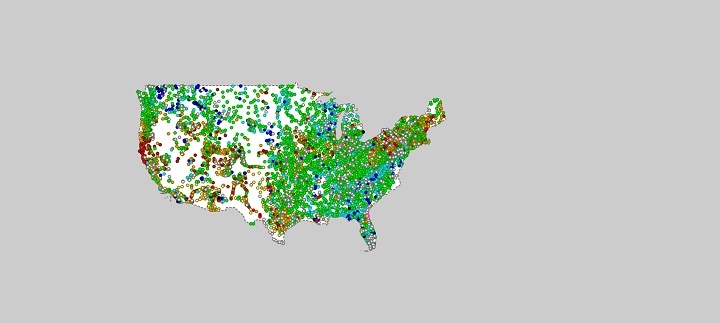 Water level, weather and flood forecast data is generated by more than 13,500 monitoring stations. Source: USGS