Ultra-affordable radar tech tracks low-flying drones
Marie Donlon | February 24, 2025According to its developers, the new system promises to offer enhanced monitoring capabilities within low-altitude airspace, enabling the accurate tracking of drones in real time.
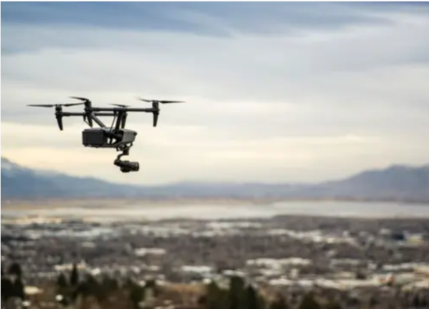 Source: BYU
To accomplish this, the team is creating a network of several small radars rather than a single radar station — the kind of which is often used at airports.
“Rather than relying on an airport’s $10 million radar system, we’re working with units that can be built for a few hundred dollars. While they may lack all the features of high-end systems, their combined data can create a reliable tracking network,” the researchers noted.
The team added that the proposed technology will function through interconnected radar units strategically situated around a designated area, with each radar pointed skyward so that they can identify and track moving objects within range.
As soon as one of these radar units detects an object, it will log the object’s position as well as the radar’s location. That data will then be converted into a global coordinate system that will be shared with other ground stations, so as to offer a real-time view of the air traffic within the vicinity.
To minimize the potential for collisions, the team suggests that this synchronization is critical to pinpointing the location of each drone in the sky.
Further, the team recommends situating these small radar units atop existing structures — including light poles and cell towers, for example — thereby making way for their widespread deployment without drastically increasing infrastructure costs.
The team suggests that the system allows various drones from different providers to operate all at once while maintaining safety. Additionally, they have created an online calibration feature that enables radar units to self-correct while they collect data. In roughly 10 seconds, the technology can reportedly adjust for any disruptions or shifts in a radar unit’s alignment, the team concluded.
“With the algorithms we’ve put in place, we can interchange radar units as needed and expand the network, catering to various operational requirements as drone technology evolves,” the researchers added.